Showing posts with label Wednesday Waters. Show all posts

Monday, April 10, 2017

First Experience in the Pacific Ocean

In my so many years of travelling all over the Philippines, i have for a few times reached the beach of the Pacific Ocean. However, travelling on it on a boat has not happened yet till this trip to Albay, to an island called Rapu-rapu. It has always been said and written that we have 7,1007 islands and lately there are still some additions. And i guess they did not include those which vanish during high tides. On the plane, it really is lovely to look at the plenty of islands dotting the blue seas. 

Last March we need to evaluate a fishery project in an island cove in that island facing the Pacific Ocean. Despite my hesitance there is also that exciting feeling of trying something i haven't done before, as i am really scared not only of heights but also depths. That includes deep bodies of water. But this time, i said let's go! I hope against hope that i will not be scared. Thanks God, the sun is bright the whole day, there was not even some clouds looming in the horizon. The dry season is really the best time to do island travels, and this time i conquered myself. 

Those two bays in Rapu-rapu Island-Batan are the sites we visited. Going there entailed 1 hr in the inland waters and 1 more hour along the Pacific Ocean. Our route going there are the red arrows, while yellows show our route on the way back. That body of blue water is the Pacific Ocean. It doesn't look scary on the map, but we worked with the big waves on that blue expanse for an hour. 

Our rented boat has a maximum capacity of 25 and we were 11 passengers including
 the 3 crews who maneuver it very well. Below is the view of our boat 
with only tarpaulin sheets serving as the roof. 

The waters are just very tamed and normal during the inland journey, it was at the Pacific side when even just the normal wind is enough to give us big rounded waves. The boatmen decrease the speed when encountering such bigger waves.  Actually, they might not be waves but just normal swaying of the water.

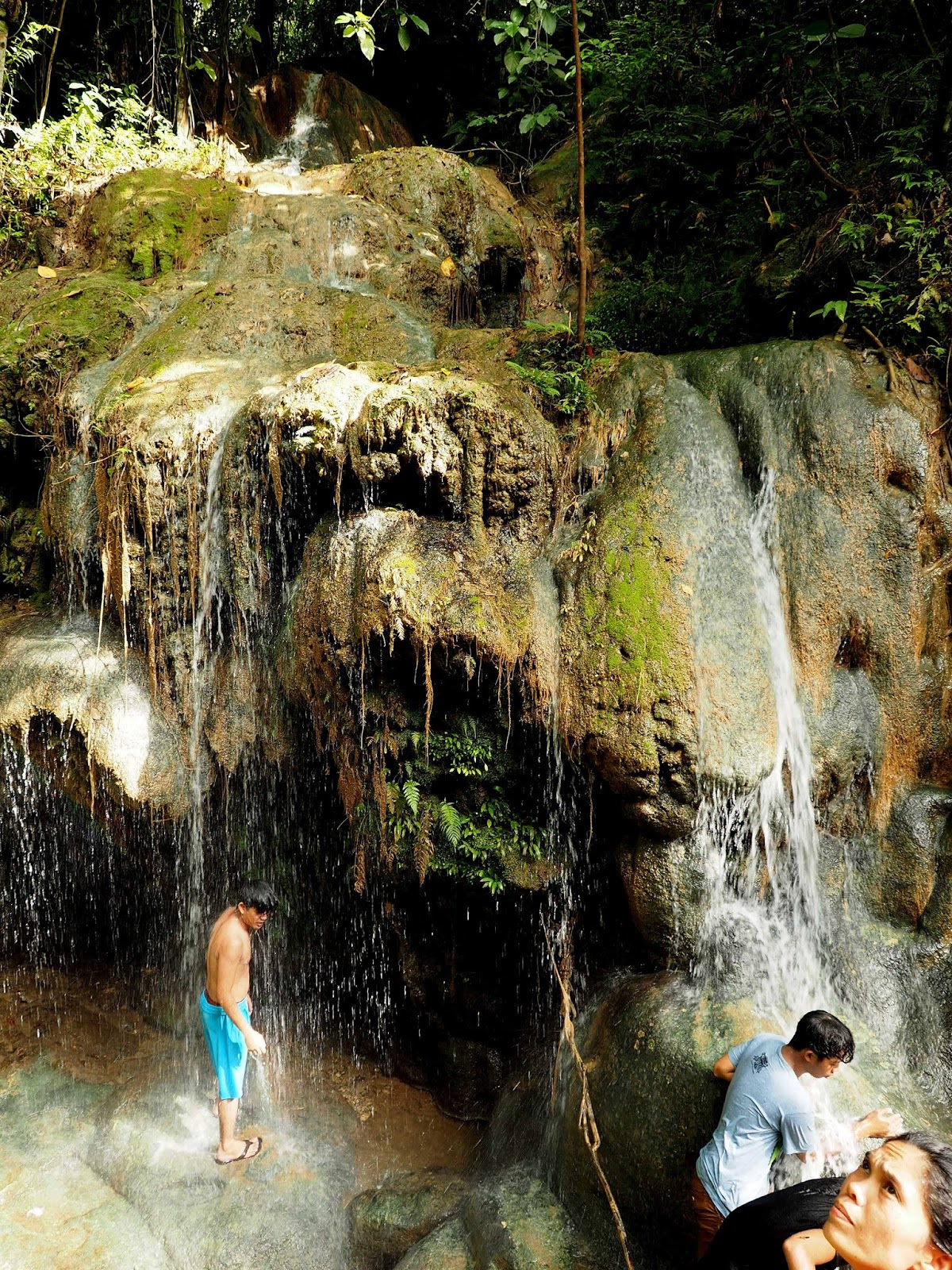
Above and the following pictures are some of the islands we encountered. There still are a lot of them, but i was not able to document all. I only labored to get the smaller, lovelier ones.


Small boats like that above is commonly seen along the routes. 
They are standing because they are fishermen trying to see where the
 schools of fishes are and put their nets nearby.

No two islands have the same vegetation and physical looks, above has a rocky beach.

even the islands have coconuts, some people might have planted them there

above island look so lovely in that cone shape

Above is aptly named the Vanishing Island, as only those huts are seen during high tides.
These huts are built on stilts to give way to the rising waters, looking like floating huts.

This is the only island there with a wide expanse of white beach. 
It is made into a resort with amenities for the tourists.

I am so curious with those cavelike crevices on the shore cliff. I wonder if people 
have gone there to look what are inside. But these waters are so deep 
blue in color which means the water is very deep.

The above area is the first cove we visited for our seaweed and squid pot projects. A small boat got some of us from our big boat to be carried to the stalked sites. I did not go that first time, but i took turn at the other bay where we took even a smaller boat with only 3 passengers.

On the way back from our visited sites, we took another route because the Pacific waves are bigger and might be scary for our boat. The boatmen decided to take the longer inland waters. Please look at the map for the yellow arrows. I put a small asterisk on the map to locate the area we were stranded for 1.5 hours. It was low tide when we got here, stopping our boat to push through.

We just stayed on the boat, watch the boys gleaning for shells in the shallow waters. We even resumed our discussions about a lot of topics. While i was talking with the boss, the research assistants took a nap leaning on the single boat post. I guess they really had a good rest.

That is one of the boatmen looking at the waters for the deeper areas to pass through. He signals his boat mate for the direction to take. This is already on our way back, no more big waves to contend with. I am so glad i did not experience the fear i tried hard not to feel, and i succeeded! 


Tuesday, March 21, 2017

Exhilarating Experience

I did not go to the office last Friday, 17th March. I left at 3:00am to take the 4:00am bus for a 6.5 hours ride to the north of Manila. I will be joined by my friend from Baguio City and we will be staying with my friend in La Union. She will take us to a waterfall near her place. Serendipity came in as the tourism officer will be bringing some people who won the raffle in their Agri-fair Exhibit. It is one of their promotions for people to visit one of their waterfalls in their town, in fact there are a few more waterfalls there. So we left my friend's car at the Santol Poblacion for the hired vehicle that brought us to the Simminublan Falls. The jeepney was full and a few guys together with my friend took the topload, or on the jeepney rooftop.

As far as this lifetime is going, i can say that this ride and that route to the Simminublan Falls, Santol, La Union is the most exhilarating and scary one! The road is paved to the top of the mountain but rough downwards to the other side where the waterfall is. But the slope, OMG, is definitely only a little less than 90 degrees. It is circuitous and both sides of the road are deep steep ravines, that if we fell there nothing will stop us from reaching the bottom, not even a big boulder. I tell you, it is more than a roller coaster ride. All of us held tightly to the jeepney roof handles! Sometimes, someone gasped, or screeched, involuntary controlled screams that got out from their mouths.

I was able to get a few hurried shots, although they did not show the real dimensionality of the area. They still appeared flat, not that scary as in the real experience. (please move over your mouse for a bigger and clearer picture)

 This is taken while going up to the top of the mountain, afterwhich, it swiftly went down on a rugged unpaved road. I can just think of what it is during the rainy season, maybe more difficult and more scary! The tourism officer said only single motorbikes can traverse this road during the rainy season.

above shows the not so steep part of the road to the top

 The barangay road is only as wide as a jeepney, it is good that nothing comes here but single
motorcycles. Or else the other vehicle will take reverse until the point it started, and that is at the bottom of the mountain. There are portions of the road where both sides are very steep ravines, with nothing to bar you from falling, not even a big tree!

 another view of the other side of the mountain

another expanse at the side of the road

I felt that everybody almost held their breaths most of the time. And maybe a few said some secret self prayer of thanks to God when we at last reach the bottom of the road, a dead end. And from there, a few more steps brought us to big boulders, which kept our destination, the Simminublan Falls.

All of us have picnic baskets, some even have a radio, and of course a large tarpaulin for shade. Most of them swam in the big basin-like catchment of the falls. All the men tried jumping on the water from the rock cliff.

 I did not join them, as my other purpose is to shoot some wildflowers and butterflies. There are also a lot of dragonflies and damselflies, so they also took my fancy.
 
This is the total expanse of the waterfalls, in cascades. They said it is about 30ft in height. The water now is not as big as during the rainy season. It would be lovely then, but i doubt if i can be brave enough to take that single motorbike on slippery steep road during the rainy season.


 the 2nd cascade from the bottom

2nd cascade even enlarged

My friend is the only lady who took the plunge from the cliff. She even wanted to start from the topmost rock, but there are no holds to get there. We were all at the sides, taking her picture. 

the vegetation around the falls

That is a summary of that experience. My more extreme-adventurer friend still wants to visit more of the falls that need more hiking hours. However, i think i need to ask for more details of the road going there before i decide to join her again. 

Below is my friend's video of the road going there and back. 


Monday, March 13, 2017

Malimatoc Beach with Character!

Our town is a peninsula, protruding from the province of Batangas, Philippines. At the west side where the sun sets is a marine sanctuary which has lots of internationally known scuba diving sites. It follows that most of the resorts are found there. Our side of the town is where the sun rises, and we get spectacular sunrises. However, the disadvantage of living in an area like this all your life, is that we almost take for granted its beauty. Maybe tourists or visitors take lots of photos here, but residents like us normally don't.  I just have a few photos because i often pass by here, as the jeepneys start from this area. Our road to town is basically along the shore, but houses now block the shore views. It is not a good type of development, but that is our reality!

This is a bay or a big cove, and the Batangas International Port is at the other side of the bay, where the sun rises. I am just giving you a few compilation of this area, to show our bay's character. Sometimes it is serenely inviting, but most times it is not. An area between those islands at the east directly goes to the Pacific Ocean, giving us strong currents too. Because the west side is famous, this side of the town is not sought after by tourists. As a resident, i think i love it better that way. .

a  serene sunrise

lacey shoreline during serene sunrise

A very calm day and very calm waters. This view is also the scene at my header.

Stormy days bring the ships to our shores to hide. Those are fast craft passenger ships. 

A rocky beach give some residents to gather live shells for food


 Those fortress-like big structures were there only for maybe 3 yrs, a flour and cement factory. Brown waters are here when seas are rough, and the sounds of bumping rocks underneath the waves are sometimes scary. 

 Waves look like this during slightly rough seas at high tides. 

I like looking at those waves when they hit the cement breakwaters

 That island at the horizon is Tingloy, another town, not anymore part of our own. At the farther right of that big island are some small islets that are often visited by tourists in Anilao, Mabini, Batangas. Some resorts include lunch in those beaches as part of their itineraries. At the back shore of that big island is where the Magsasa Beach is located, a beach side very famous for local tourists these days. It is known to have finely white sands so attractive because of the nearness to Manila at 4 min to 1 hour from Anilao port. Further, Anilao to Batangas Grand Terminal is about 1 hr, and to Manila is 2 hours through the newly constructed CALABARZON Expressway. 

Monday, January 16, 2017

More Waterfalls!

I have been obsessed to visit some waterfalls again. Then i reviewed some of my older files and i found one i visited last year. I am wondering why i haven't blogged about it. I was with a few friends and we use a private car. It took us about 3 hrs to reach Nagcarlan, Laguna. Actually, there are lots of falls in Laguna. I lived there for a long time since the university where i studied is located there. Then i worked for a few years there, and also continued to graduate schools. Priorities did not allow me to visit waterfalls before, but i have some available leave credits now, so i can take a few days off whenever i want to. Then the waterfalls will be in the line-up.

So, in Brgy. Bunga, Nagcarlan, taking the same name is the Bunga Falls. Bunga is the Tagalog term for betel nuts, a palm. It is a twin falls as divided by a big boulder at the top of the ridge.


 At about 15 meter high, boys can jump from the ridge. The boulder serve as their diving board, to a catch basin below of about 10 meters deep.  You can see the 2 boys already at the boulder, and another 2 following them. It could probably be not as scary if a friend jumps with you!

 Above is the entire area, with the shallower waters serving as the swimming site. There are makeshift tables and thatched roof cottages, where tourists can take their food. No stores are in these area, but at the parking lot on top of the ridge. Cemented steps take visitors from the parking area down to the pool area above.

 Downstream are cascades of water where we practiced slow shutters handheld. Such futile exercise, you might say, but anyway we enjoyed it.

 This is the downstream waters from the falls. Just be careful in stepping on the rocks as you might slip to the risk of breaking your camera and lenses.

 The other interesting site to visit in Nagcarlan town proper is the Underground Cemetery. Above is the historical church site, housing the underground cemetery below it. Around the church yard can be seen the tombs lining the walls, as seen above. They are almost 3 or 4 layers.

Inside the Nagcarlan Church

The Nagcarlan Church and Underground Cemetery is a national historical landmark and museum. It was build in 1845, supervised by a Franciscan priest, Fr Vicente Velloc, as a public burial site. The underground crypt exclusively buried the Spanish friars, prominent citizens in the town and members of the Elite Catholic families. It is said to be the only underground cemetery in the country. (Source: Wikipedia).

a portion of the Underground Cemetery

Behind the church are small passageways downstairs to a somewhat dim area where the Underground Cemetery is located. It could be a practice by the Spaniards to bury the church people or the elite
people those times under the church, just like under the St Peter's Basilica at the Vatican, where the popes' tombs are located.

Nature Notes
Our World Tuesday
Through My Lens
Wednesday Waters

Monday, January 9, 2017

Search for Some Waterfalls

We had a free half day in  Guinobatan, Albay  after our arrival at noon. The next day will be our meeting discussion, the reason we are there. Before our arrival our host actually already texted me what i would like to do on that free time. So I expressed my intention to visit a waterfalls if there is one nearby. After lunch we took at least 45 minutes by car to reach the town of Jovellar, and another 20 min walk to the waterfalls at Barangay Quitinday. 

This is what they call Jovellar Underground River and Quitinday Falls. There is a bamboo stairs to the falls and a bamboo raft  brings passengers through the underground river for at least another 30 minutes to another small waterfalls inside. The entrance of the cave is at the left side of the photo. A 200 pesos fee is collected going through the underground river. We just content ourselves photographing the landscape, didn't go through the river. 

These local residents are the raft guides, and they sometimes jump to the river from the top of the ridge.

an enlarged view of the entrance to the underground river

This is the downstream of the river, where the locals jump and dive. The water is brownish because of the constant daily rains for the last few days.  They say this river might be 20 ft deep. During dry seasons the water is colored green and people swim in these pools.

On the way back parallel to the river we again approached a clearing downstream to see this waterfalls. This is above the Quitinday Falls.

Quitinday Falls, now has bigger volume of water because of constant rains the days before. 

This is the hole where waters from the falls pour in. It is a hole which seems very deep.

At the most downstream of the river where we will leave off to the main highway, there is again a small waterfalls behind those two wall pillars. It can be reached by foot through the relatively shallow waters, but we didn't opt to do that. A few pictures for us will pacify the need.

On top of this falls is the main bridge where we took for home. But before leaving i again took some shots of the falls just above it. The cement side of the bridge served as my tripod to get a somehow slow shutter for a milky-milky photo. The falls will look taller if i am not on top, but i don't want to be wet for a better one. Besides, we are pressed for time to be back before dinner.  I am already delighted with the sights and landscapes we've seen, and the waterfalls pacified my curiosity to find one. This will ensure me a sound sleep.

Related Posts with Thumbnails